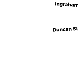
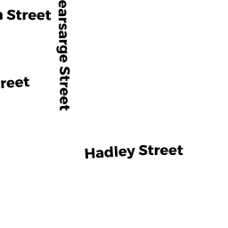
12 14 KEARSARGE ST
Owner Information
HEBERT CECILE S
12 KEARSARGE STREET
NEW BEDFORD, MA 02745


Property Details
12 14 KEARSARGE ST is classified as a Two-Family Residential (2 family).
The primary structure on this property was built in 1924. There are 2,262ft2 of built area within this property. There is 2,262ft2 of residential/living space within this property. This property is listed as having 10 rooms. There are 2 units within this property.
12 14 KEARSARGE ST is valued at $219,600. The land is valued at $81,800 and the structures are valued at $137,800.
This property is in Zone RB. Confirm with local Zoning Board authorities to ensure there are no overlays or other easements on this property.
The most recent deed for 12 14 KEARSARGE ST is recorded at the local registrar in Book 11832, Page 143. 12 14 KEARSARGE ST was last sold on Monday, September 26, 2016 for $100.
Assessment data from fiscal year 2021.
Flood Data
According to the FEMA National Flood Hazard Layer, this property does not appear to be in a flood zone. It may also be in an area not yet reviewed. Nonetheless, confirm this information prior to taking any action.
To view the flood hazards around this property, create a FEMA "Firmette" Map of the area around 12 14 KEARSARGE ST.
Broadband Internet Providers
| Provider | Type | Bandwidth (mbps) | |
|---|---|---|---|
| Viasat Inc | Satellite | 35 | 3 |
| Comcast | Cable | 1000 | 35 |
| T-Mobile | Fixed Wireless | 25 | 3 |
| GCI Communication Corp. | Satellite | 0 | 0 |
| HughesNet | Satellite | 25 | 3 |
| Verizon New England Inc. | DSL | 5 | 0 |
| VSAT Systems, LLC. | Satellite | 2 | 1 |
Broadband service provider data from December 2020.
Adjacent Properties
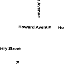
- 727 BELLEVILLE AVE
Apartments with More than Eight Units owned by TCS REALTY LLC - 735 739 BELLEVILLE AVE
Apartments with More than Eight Units owned by PHILLIPS ROAD, INC - 16 18 KEARSARGE ST
Three-Family Residential owned by ARMAS JOSE MARIA - 111 113 HADLEY ST
Two-Family Residential owned by SANTOS LEONARD G "TRUSTEE" - 0 WS BELLEVILLE AVE
Developable Residential Land owned by TCS REALTY LLC - 2 4 KEARSARGE ST
Three-Family Residential owned by J&S REALTY LLC